Inspired by Strong Towns, I wanted to do a value-per-acre in Ada County. I started off just picking assorted parcel’s from the Ada County Assessor interactive map:
Boise:
| Location | Value/Acre |
|---|---|
| Winco (Downtown) | $1.306 million/acre |
| Trader Joe’s | $4.941 million/acre |
| Whiskey Bar | $5.6 million/acre |
| Costco (Cole) | $797k/acre |
These three from the “blighted”-looking parcels near Boise Ave. and Broadway
| Location | Value/Acre |
|---|---|
| Coble Company | $2.557 million/acre |
| Thompsons INC | $3.304 million/acre |
| Kiddo Holdings LLC | $2.671 million/acre |
All better than downtown Winco and Costco!
Moving on to Meridian:
| Location | Value/Acre |
|---|---|
| Village (doesn’t include a bunch of parking) | $6.4 million/acre |
| Big Als | $2.279 million/acre |
| Costco (Chinden/Ten Mile) | $1.4 million/acre |
| Walmart (State/Gary) | $1.3 million/acre |
| 105 E IDAHO AVE MERIDIAN | $4.886 million/acre |
| 127 E IDAHO AVE MERIDIAN | $3.318 million/acre |
| 136 E IDAHO AVE MERIDIAN | $5.13 million/acre |
| Epi’s | $1.5 million/acre |
| El Tenampa | $2.745 million/acre |
Properties in Downtown Meridian are much more valuable than most of the new and shiny megastores.
Okay, clicking on the map is dumb, where’s data? I downloaded the “Ada County Parcel polygons” file from https://adacounty.id.gov/Assessor/Land-Records/Ada-County-Assessor-Data/
It’s a shapefile! Very nice.
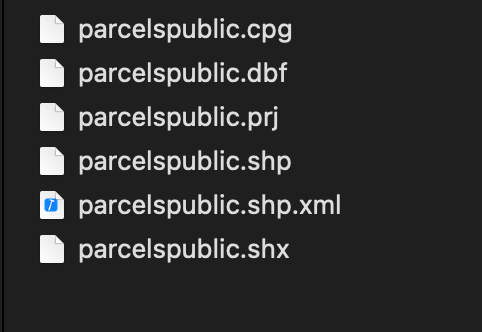 finder screenshot
Opening it up in Google Earth Pro, it can’t handle the whole file, but it seems it has all the data we want (acres and total value mostly)
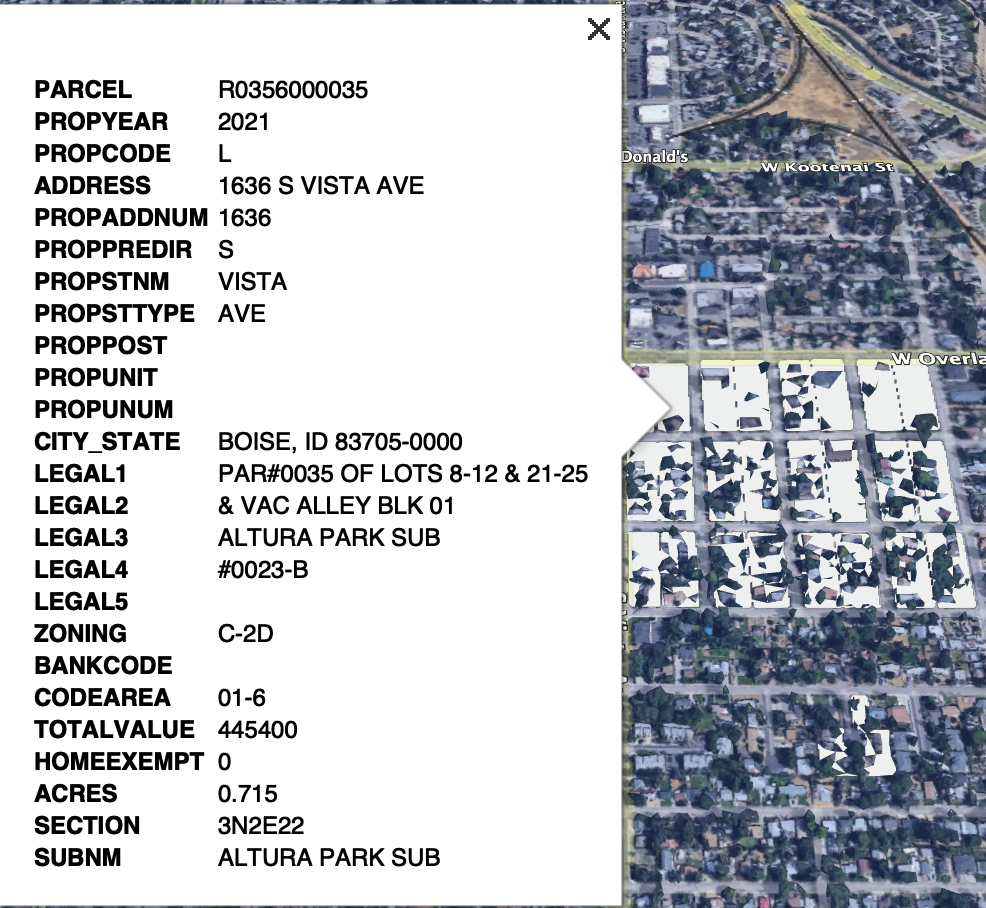 google earth screenshot
It would be nice to have all this data in a database. I’ll use ogr2ogr to import the data to a PostGIS database:
ogr2ogr PG:"host=localhost port=5432 dbname=YOUR_DB_NAME user=YOUR_DB_USER password=YOUR_DB_PASSWORD" -nlt GEOMETRY parcelspublic.shp -skipfailures -lco precision=NO
-- Remove parcels with 0 acres to avoid divide-by-zero error
DELETE FROM parcelspublic WHERE acres = 0;

-- Add a value_per_acre generated column just to be handy
-- Need Postgres 12 and up
ALTER TABLE parcelspublic
ADD COLUMN value_per_acre float8 GENERATED ALWAYS AS (totalvalue / acres) STORED;
The first query I ran was to find the most valuable properties. Unsurprisingly, they are almost all downtown:
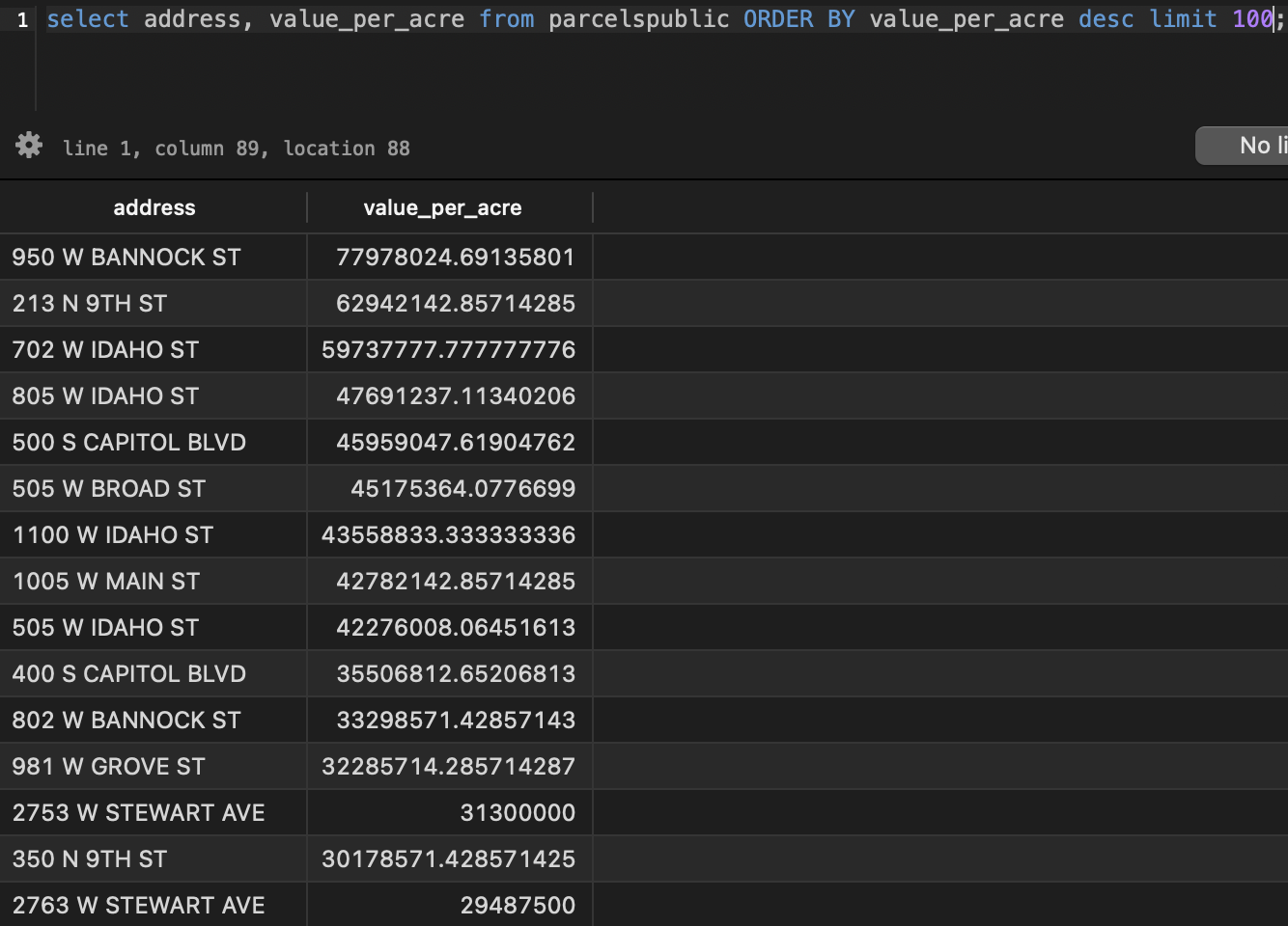 most valuable properties
There’s only so much you can do with just the database. I’d rather have a map view. Let’s connect to it with QGIS
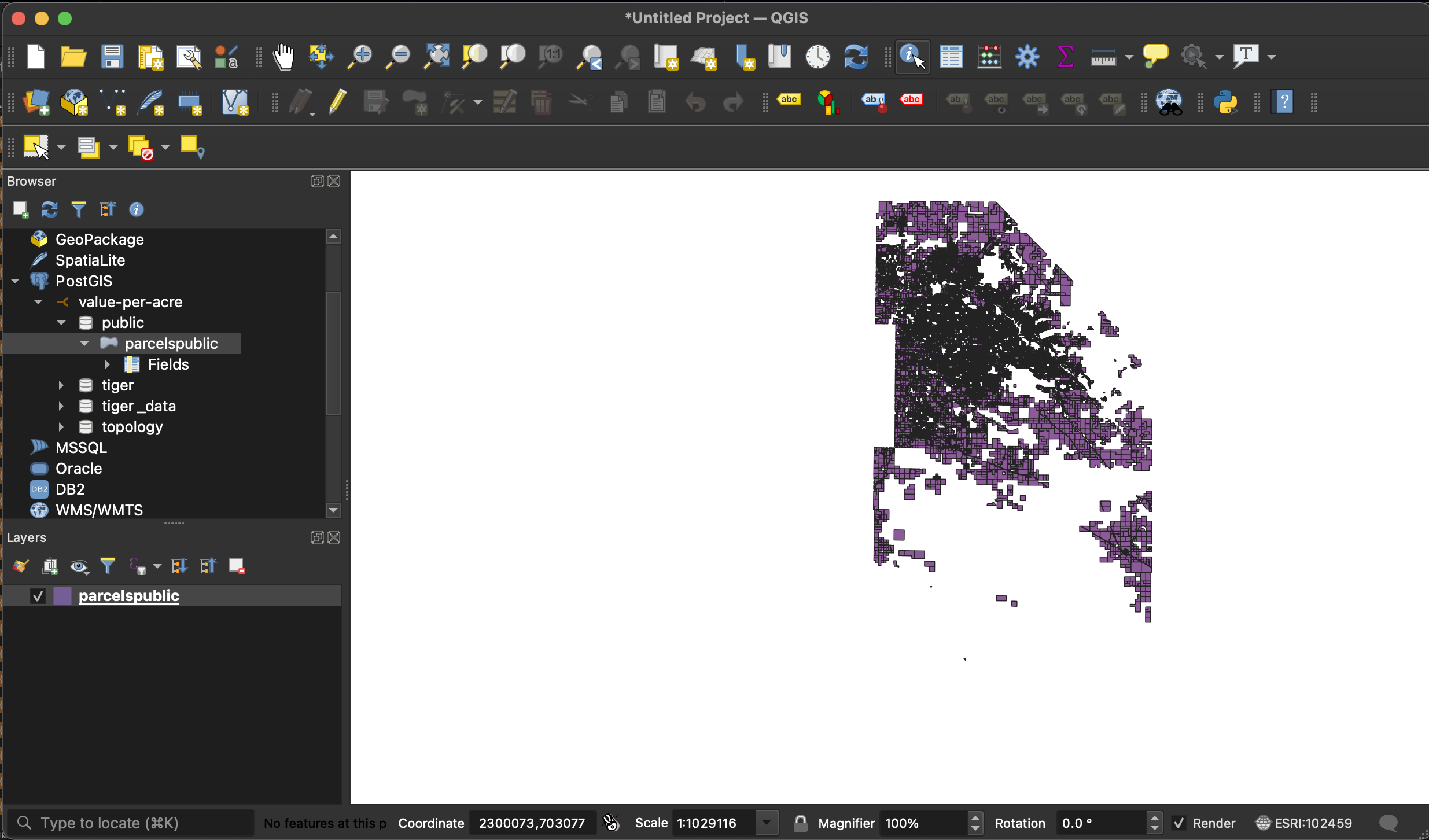 qgis screenshot
Nice!
Let’s also filter only the commercial properties and add a satellite tile source:
http://mt0.google.com/vt/lyrs=y&hl=en&x={x}&y={y}&z={z}
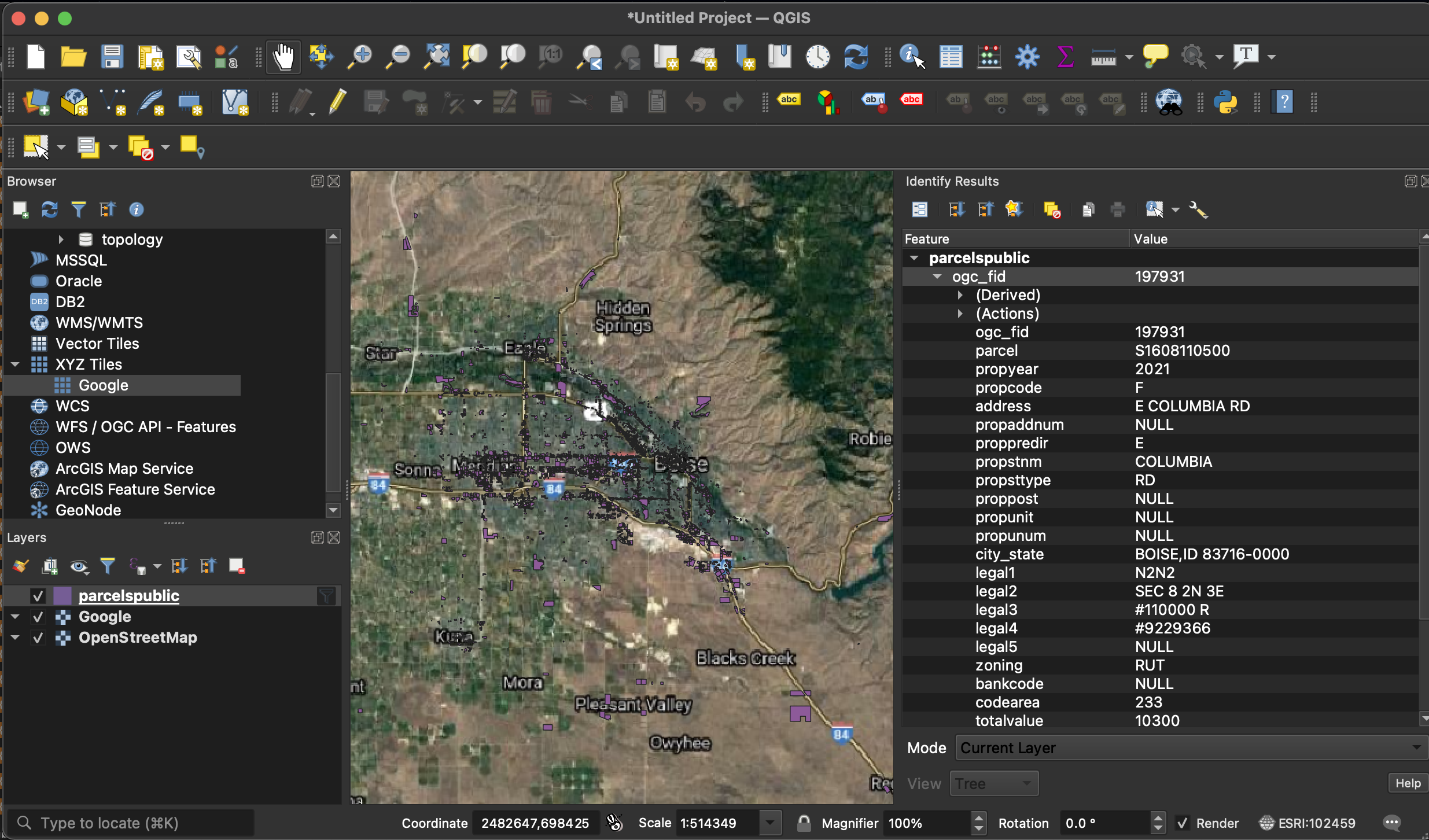 qgis screenshot 2
Next step: color code by value_per_acre:
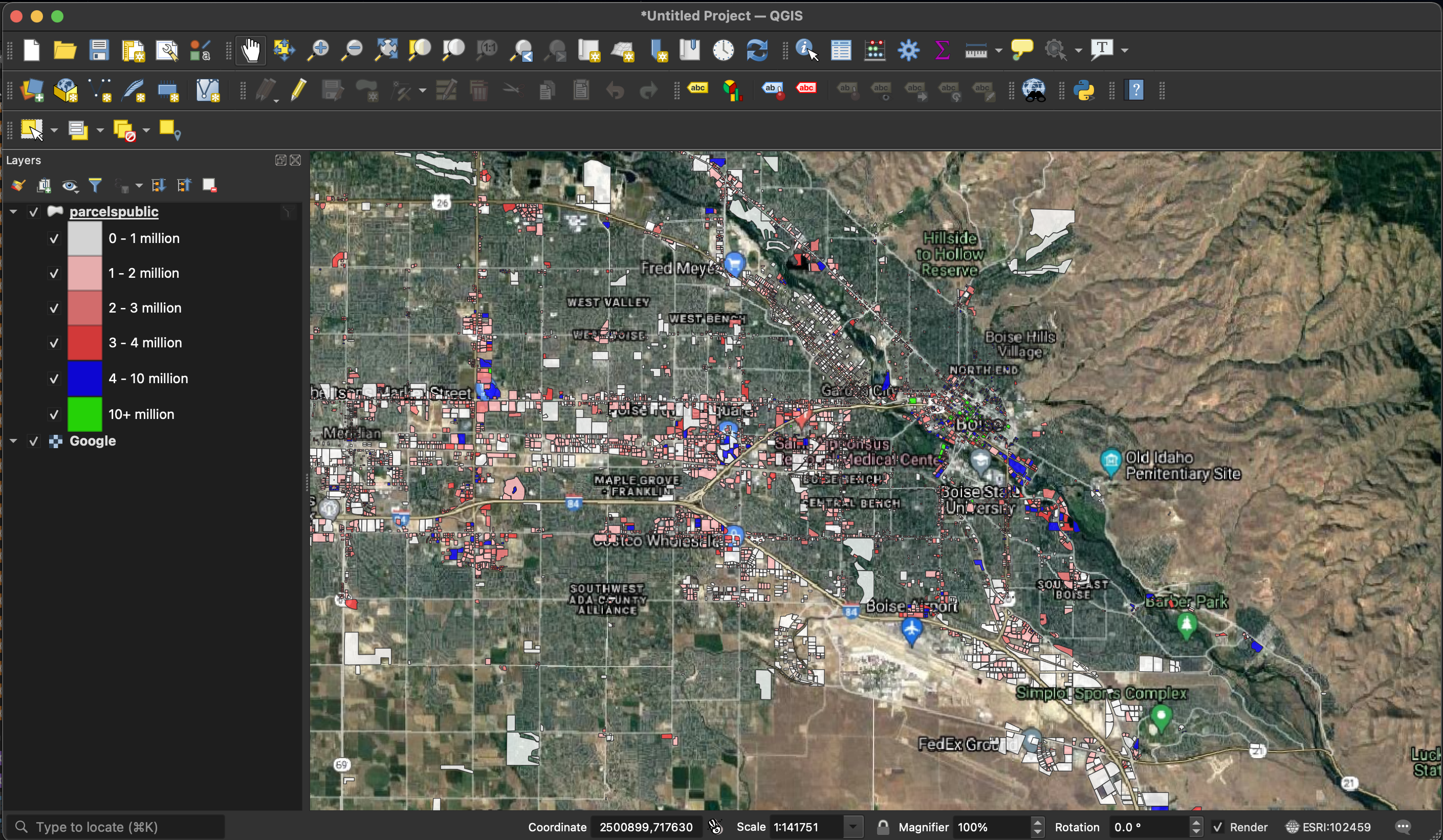 qgis screenshot 3
Downtown
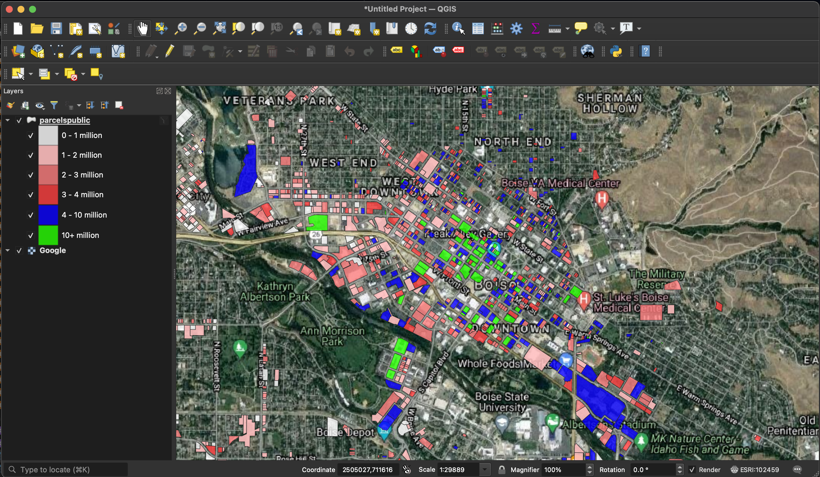 Downtown Boise
West Boise
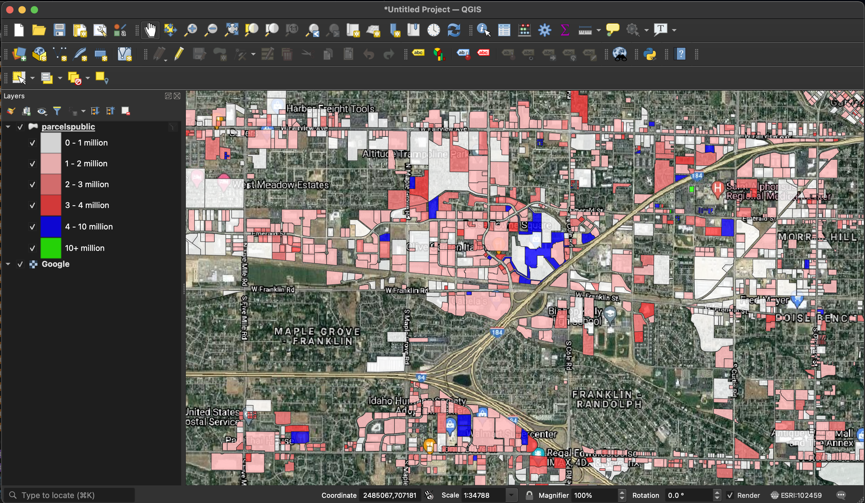 West Boise
Meridian
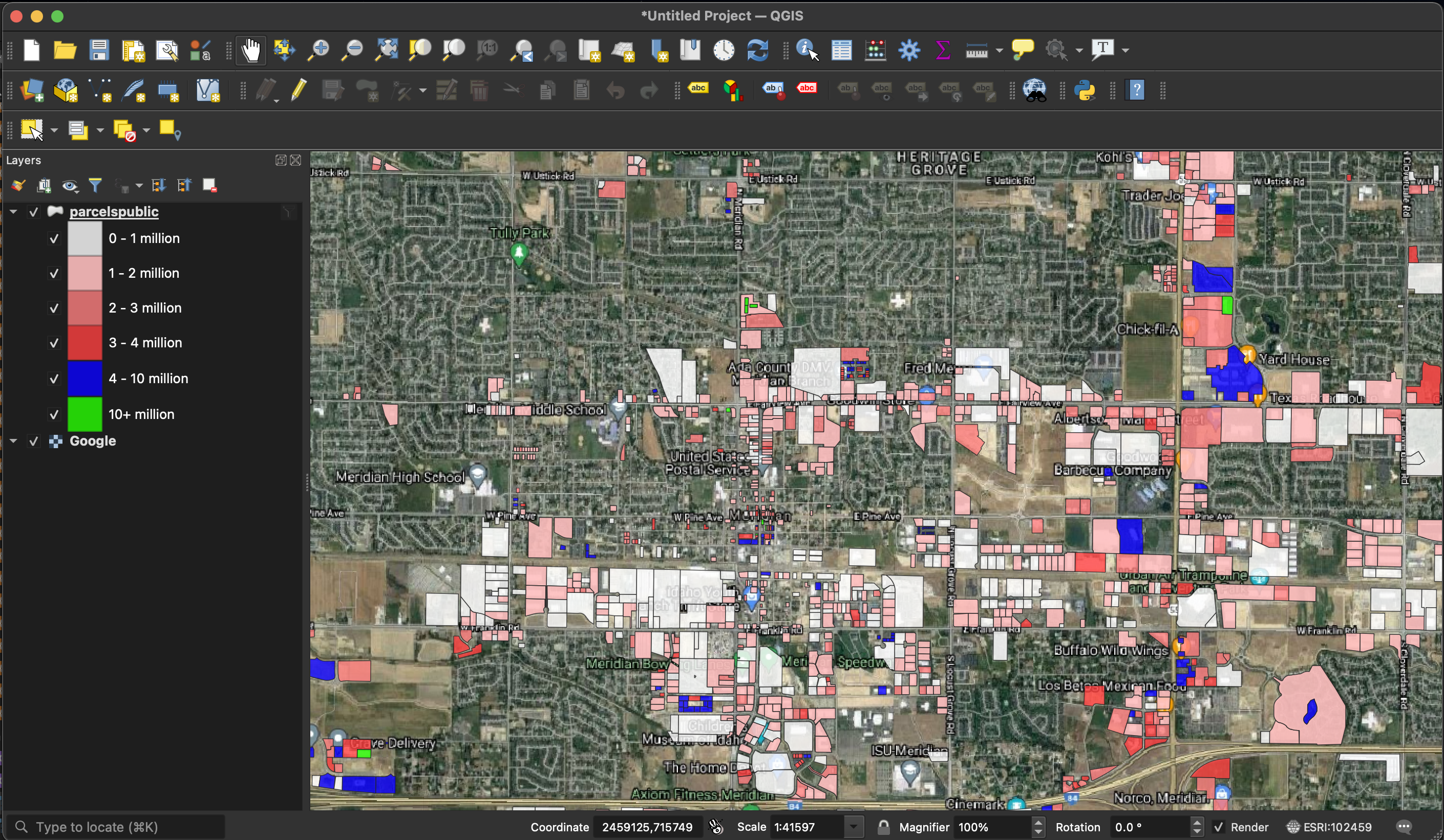 Meridian
North Meridian & Eagle
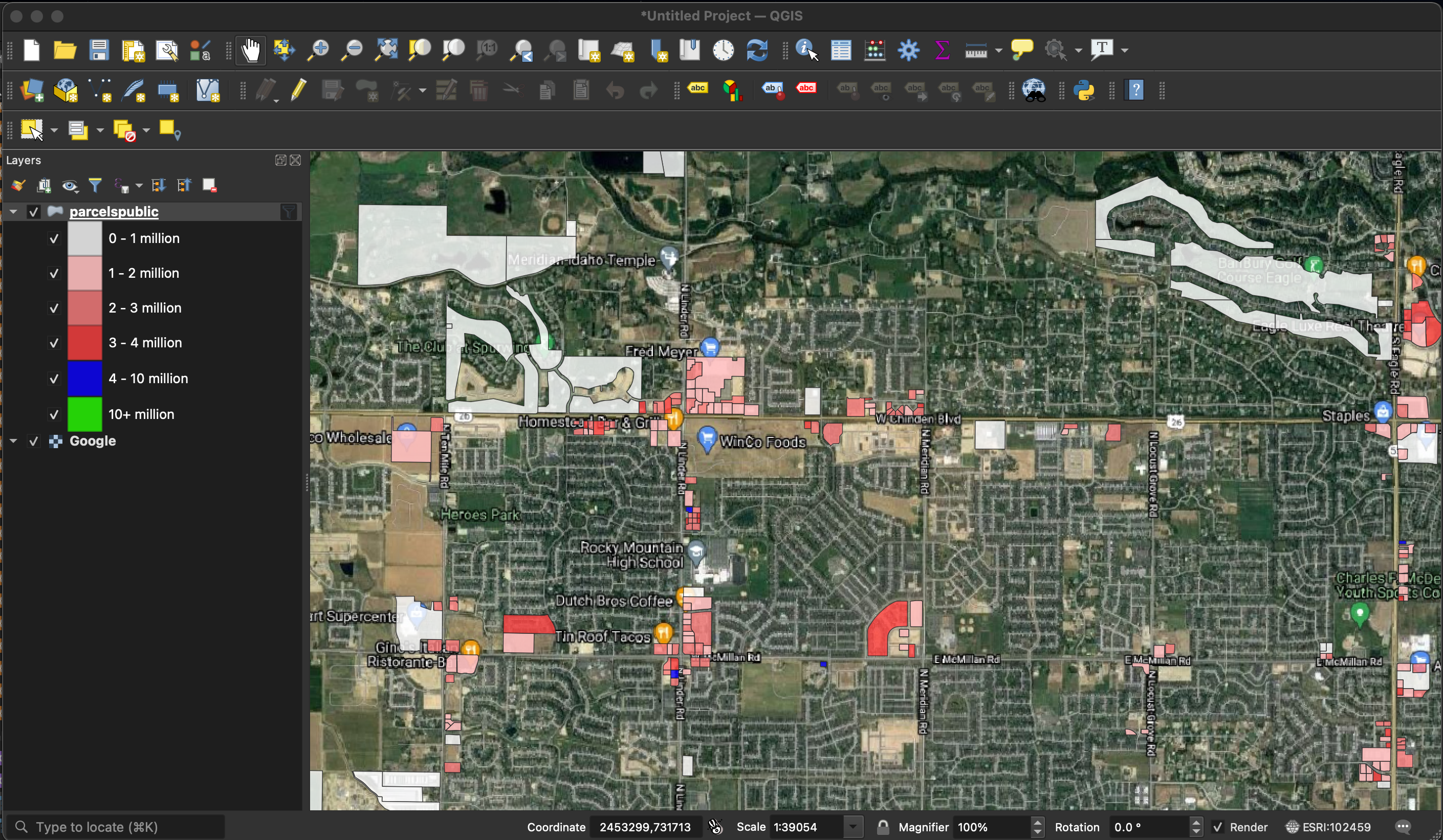 North Meridian & Eagle
Texas?
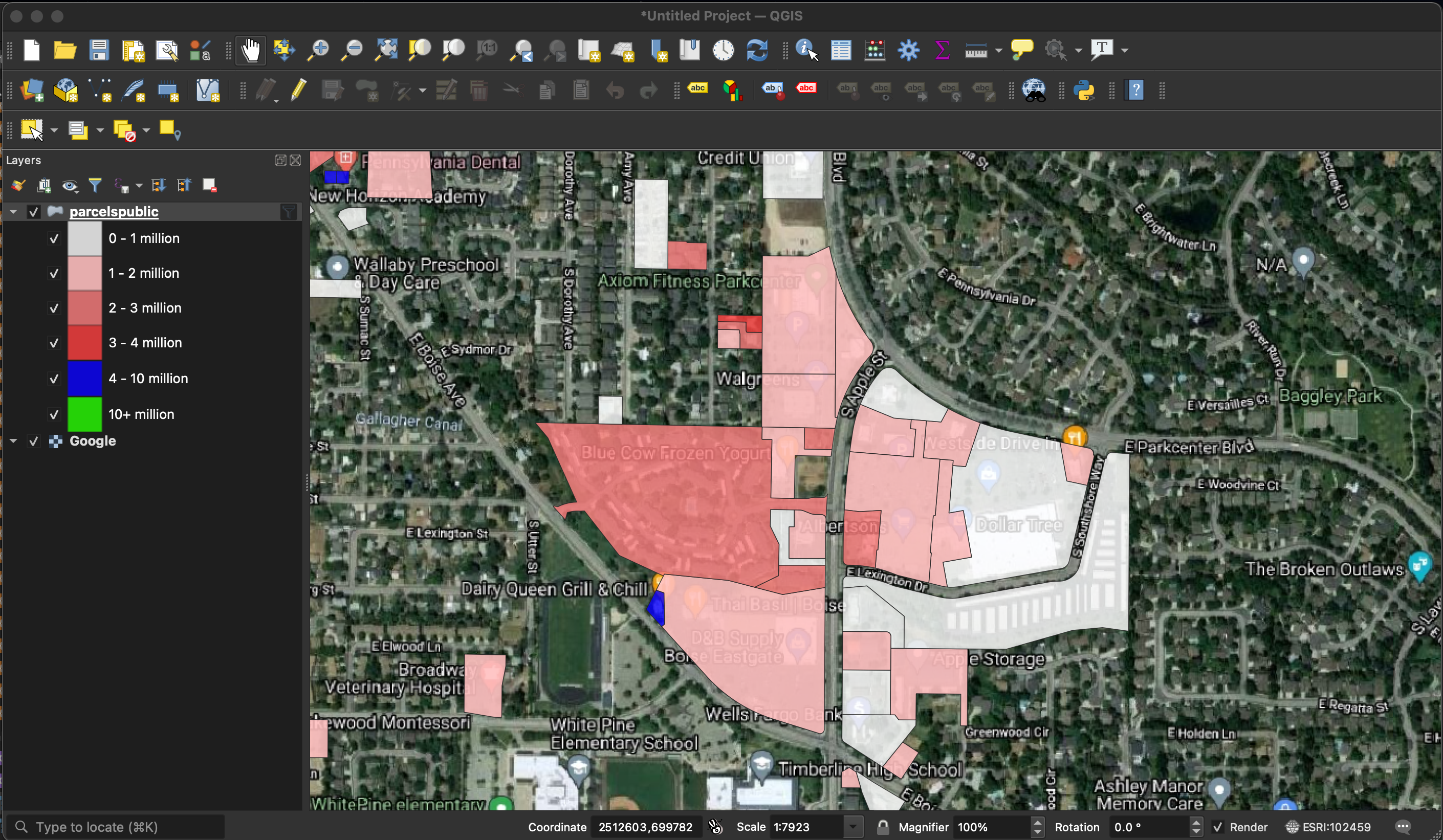 Dairy Queen saves the day
Not sure where to go with this next but it was fun.